
Ruston Neighbors by Public Source
A block lookup works best when each source answers one narrow question. Lincoln Parish GIS establishes which parcels are nearby. The assessor adds recorded owner and mailing clues. The voter portal checks one exact address. Clerk deeds test ownership history, while civic directories identify organizations rather than households.
| Source | What it shows about a block | Access |
|---|---|---|
| Lincoln GIS viewer | Parcel polygons, roads, structures, 911 points, ZIP and district layers | Public map and REST service; copy data, not legal certification |
| 911 address layer | House number, street parts, community, ZIP, source and revision fields | Public current layer; no household list |
| Assessor / DataScout | Recorded owner and tax-mailing clues | Name and address search advertised; exact form inspection blocked |
| Louisiana voter portal | Registrants returned for one exact address | Public form; no visible radius or block mode |
| Lincoln Parish Clerk deeds | Ownership sequence for each legal description | Office, Clerk Connect, or eClerksLA; image access varies |
| Chamber civic directory | Public organization names and contacts | Current directory; not a membership roster |
An owner name does not prove occupancy. A mailing address can be elsewhere, a voter record can lag a move, and people who do not own the home may not appear in either record. Label each result by its actual role.
Map a Ruston Block Outward
The Lincoln Parish GIS viewer is the clearest start for nearby parcels. Center the known address, turn on parcels, 911 addresses, roads, and structures, then inspect the touching and facing polygons. An alley, drainage strip, or right-of-way can make two shapes look adjacent when their legal descriptions say otherwise.
- Locate the known 911 point and confirm its full address and ZIP.
- Open the parcel and save ParcelId, CAMAKey, OwnerName, MailingAdd, subdivision, and section.
- Pan to each touching or facing polygon and repeat the same field capture.
- Mark each result as map-adjacent, same street, or legal-description confirmed.
- Send uncertain parcel IDs to GIS or the Clerk instead of naming a person from a visual guess.
ArcGIS exposes geometry, spatial relationship, distance, extent, and output controls, but research did not verify a one-click viewer button for everyone within a set radius. The service also caps a query at 1,000 records. For a whole named road, use the Ruston street directory workflow instead.
Read Ruston Neighbor Map Fields
Map fields keep a block list reproducible. ParcelId and CAMAKey bridge the geometry to assessor and Clerk research. AdrLabel and AdrZip5 describe the mapped site. OwnerName and MailingAdd describe the tax record, not a household. Subdivision, section, and tax area help separate corner parcels or repeated street numbers.
- Situs address
- The mapped location of the parcel or structure.
- Mailing address
- The destination for tax correspondence, which may be elsewhere.
- Parcel
- A mapped unit of land tied to an identifier and legal description.
- Map-adjacent
- A geometry relationship that still needs a legal-description check.
Valuation fields are not sale prices or proof of wealth. A homestead exemption may support an owner-occupancy guess, but it does not establish who lives in the home or name every household member.
Ruston Neighbors in Voter Records
The Louisiana voter address search accepts ZIP, street address, apartment or lot, and city, then returns voters at that exact address. It does not present a public block-radius browse. Each nearby address must be checked on its own, or a defined voter-list request must follow the state's conditions.
Louisiana law permits certain registration fields in official list products, such as residence address, precinct, districts, status, party, age, registration date, and last-vote date. La. R.S. 18:154 withholds Social Security numbers, driver's-license numbers, full dates of birth, protected-program data, and security fields.
The Lincoln Parish Registrar of Voters is the local fallback for registration questions and updates.
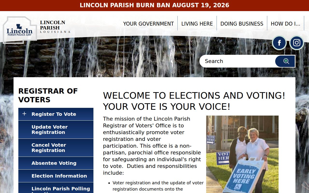
The office can explain lawful access and record status, but an official voter result is still not a complete roster of people at a home.
The Secretary of State also provides a parish voter-search route for queries that begin with Lincoln Parish rather than one mapped parcel.
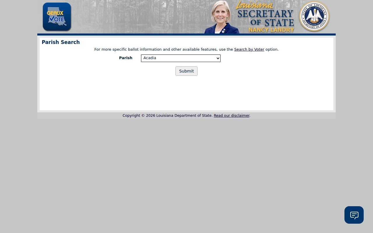
The parish form helps choose the correct jurisdiction, while the address form remains the more precise route for immediate block research.
Ruston Civic Groups Connect Neighbors
No official Ruston neighborhood-association directory, HOA roster, or block-watch membership list was located. The verified public community layer is broader: Ruston Main Street, public boards and meetings, the GIS historical-district layer, and the Chamber's civic-club category.
The Ruston-Lincoln Chamber civic directory returned nine organization entries during research, including Ruston Rotary, Ruston Kiwanis, and Rotary Club of Lincoln.
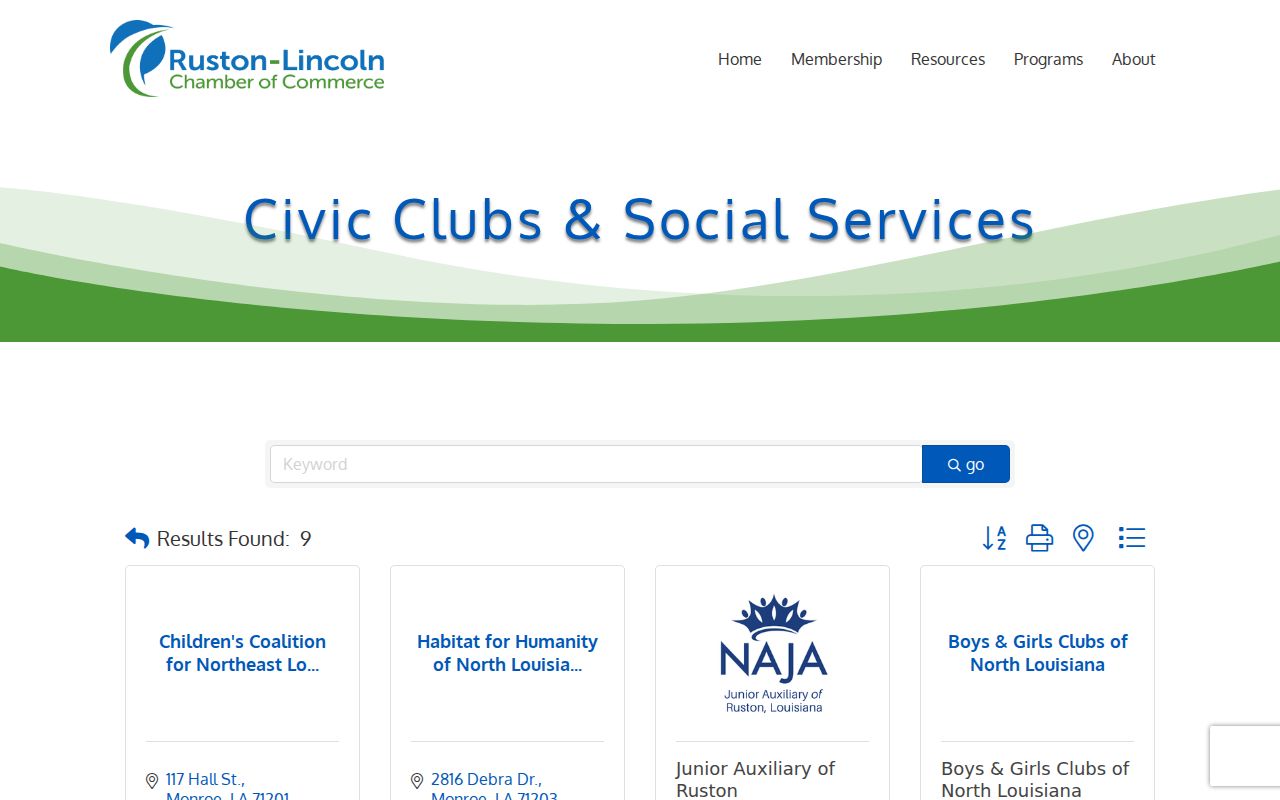
These listings provide public organizational contacts. They do not identify every member or resident of a neighborhood.
Ruston Main Street
Downtown historic and cultural district context, programs, and public meetings.
Chamber civic category
Current public contacts for clubs and social-service organizations.
Lincoln Parish Library
Church records, photographs, newspapers, and local organization ephemera may be available through staff.
Downtown Ruston Has Two Layers
The city's Ruston Main Street program supplies public historic and cultural context, while Lincoln GIS includes a Ruston Historical District layer. Using both helps explain why a downtown parcel may appear in meeting, permit, or preservation material that does not apply elsewhere.
The Ruston-Lincoln Chamber overview explains the organization behind its public business and civic listings.
The Chamber route adds an organization layer to block research, but a public listing is not a roster of nearby households.
The map remains a data copy, not a legal district certification. Confirm a boundary question with the city. Use a neighborhood name only when an official map, meeting page, or established organization confirms it; a subdivision label alone does not prove that a formal association exists.
Official Ruston Neighbor Records
Commercial neighbor tools can blend marketing data with old public records. Official sources are narrower, but they state the custodian and the meaning of each field. That makes errors easier to spot and correct.
| Question | Official source | Commercial category |
|---|---|---|
| Which parcels touch? | GIS geometry with parcel identifiers | Often an unexplained address radius |
| Who owns a parcel? | Assessor clue plus recorded deed | May merge old and current names |
| Who is registered at one address? | State voter portal within legal limits | Source date may be unclear |
| How can an error be checked? | Contact the named custodian | Correction route varies |
Use the record that matches the question. Never turn a mixed-data result into a claim about the people currently inside a Ruston home.
Official access also provides a useful fallback chain. If DataScout blocks the form, start with the public GIS fields or call the Lincoln Parish Assessor. If an online deed image is unavailable, use the indexed entry number at the Clerk's office. When the voter portal does not return an expected address, check the exact ZIP, apartment or lot field, then contact the Registrar instead of trying to fill the gap with guessed household names. Each fallback keeps the question tied to a custodian who can explain the record.
Track Past Ruston Neighbors
Current GIS data describe today's map, not an older block. Start each adjacent parcel with its current identifier, then add dated deeds, directories, released census schedules, newspaper notices, cemetery clues, and public agenda or permit references. Preserve address variants so a changed street label does not erase a household.
For each row, state whether the person is an owner, voter at an exact address, directory occupant, estate party, or community contact. If a parcel meets only at a corner, alley, or right-of-way, record that fact. The result should be a dated block history, not an undated list of presumed neighbors.
Note: Lincoln Parish Library and museum staff may locate church, photograph, newspaper, or civic material not indexed on public websites.
A reproducible block file should retain the map date, layer names, query extent, and parcel identifiers. Those details matter because roads, structures, ownership labels, and address points can change. A later reader can rerun the same set without exposing more personal information than the question requires. When the goal is local history, compare the dated set with a released census or directory edition rather than projecting today's parcel owners backward.
Public meeting records can add another dated layer. Ruston council and Planning and Zoning agendas may name an applicant, project, street, or parcel in connection with a public action. The city ordinance page was marked “Coming soon” during research, so that access gap should be stated rather than treated as an empty history. Save a meeting packet when it supplies the relevant parcel reference, because a short agenda title may omit the detail needed to distinguish two nearby sites.
Protect Privacy of Ruston Neighbors
Utility customer data, delivery records, school records, vehicle files, and private household details are not general public block directories. Louisiana's Address Confidentiality Program can shield the actual address of an eligible participant. A missing voter or owner match may reflect protection, a move, non-owner occupancy, or a stale record.
Use only the details needed for civic curiosity, local history, reconnection, or personal safety. Verify uncertain results with the official custodian and avoid republishing a block roster.
The safest final record is modest: parcel relationships, dated sources, stated limits, and only the names needed for the inquiry. Remove working notes that are no longer relevant. Keep each Ruston block finding tied to its date and official source. If a person asks about protected information, direct the question to the custodian rather than testing other databases for a hidden address. Respect for that boundary makes block research more accurate as well as safer.
Lawful use. Ruston neighbor records must never be used to watch, intimidate, stalk, harass, or harm another person.